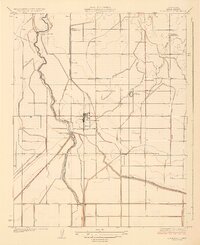
1929 Map of Stratford
USGS Topo · Published 1929About this map
Stratford stands as a central hub in the agricultural landscape of Kings County, where the managed waters of the Kings River dictate the region's rhythm. Surveyed in the mid-1920s, this area illustrates the sophisticated irrigation networks essential to Central Valley farming, featuring the Upper Stratford Weir and Lower Stratford Weir. These structures controlled the flow into a dense system of man-made waterways, including the Empire Canal, Stratford Canal, and the Tulare Lake Canal.
Find a feature on this map
22 named features on this map. Tap any name to fly to it.
Don’t see what you’re looking for? This feature index may not catch every label — zoom into the map to look around manually.
Map Details
Editions of this 1929 Stratford Map
3 editions found
Other maps of this area

1926 · Hanford
USGS Topo · 1:31,680

1926 · Lethent
USGS Topo · 1:31,680

1927 · Lemoore
USGS Topo · 1:31,680

1929 · Guernsey
USGS Topo · 1:31,680

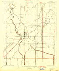
1929 · Stratford
USGS Topo · 1:31,680

1929 · Westhaven
USGS Topo · 1:31,680

1932 · El Rico Ranch
USGS Topo · 1:31,680

1933 · Kettleman City
USGS Topo · 1:31,680

1933 · Chatom Ranch
USGS Topo · 1:31,680
1935 · Chatom Ranch
USGS Topo · 1:31,680