
1929 Map of Stratford
USGS Topo · Published 1929About this map
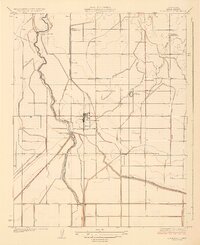
Stratford stands at the heart of this agricultural landscape in the late 1920s, serving as a vital hub where the Southern Pacific rail line meets a complex network of water management. The irrigation infrastructure is remarkably detailed, tracing the flow from the Kings River through the Upper Stratford Weir and Lower Stratford Weir into a series of engineered channels like the Empire Canal and Tulare Lake Canal. This system supported the burgeoning valley settlements of Cuneo and Marsala, along with the Rancheria Santa Rosa. Rural life is centered around local institutions such as Empire Sch and Jacobs Sch, while the Lemoore Pumping Sta highlights the industrial effort required to transform this arid terrain into productive farmland. The presence of the Outside Empire Wasteway Canal and the Mussel Slough further illustrates the intricate balance between the natural river path and the human-made grid of the era.
Find a feature on this map
21 named features on this map. Tap any name to fly to it.
Don’t see what you’re looking for? This feature index may not catch every label — zoom into the map to look around manually.
Map Details
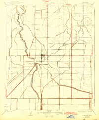
Editions of this 1929 Stratford Map
3 editions found
Other maps of this area

1926 · Hanford
USGS Topo · 1:31,680

1926 · Lethent
USGS Topo · 1:31,680

1927 · Lemoore
USGS Topo · 1:31,680

1929 · Guernsey
USGS Topo · 1:31,680

1929 · Westhaven
USGS Topo · 1:31,680

1932 · El Rico Ranch
USGS Topo · 1:31,680

1933 · Kettleman City
USGS Topo · 1:31,680

1933 · Chatom Ranch
USGS Topo · 1:31,680
1935 · Chatom Ranch
USGS Topo · 1:31,680
1936 · El Rico Ranch
USGS Topo · 1:31,680