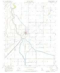
1954 Map of Stratford
USGS Topo · Published 1977About this map
The town of Stratford serves as the central hub of this Kings County agricultural landscape, situated along the Southern Pacific rail line. The terrain is defined by a sophisticated network of water management features, including the Main Canal, Empire Canal, and Tulare Lake Canal, all working to redirect the flow of the Kings River into the vast expanse of the Tulare Lake Bed. These irrigation systems were essential to the region's development, evidenced by the presence of industrial and social markers like Empire Weir No 1 and the Central Union Grange.
Find a feature on this map
37 named features on this map. Tap any name to fly to it.
Don’t see what you’re looking for? This feature index may not catch every label — zoom into the map to look around manually.
Map Details
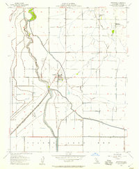
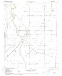
Editions of this 1954 Stratford Map
3 editions found
Other maps of this area

1926 · Hanford
USGS Topo · 1:31,680

1926 · Lethent
USGS Topo · 1:31,680

1927 · Lemoore
USGS Topo · 1:31,680

1929 · Guernsey
USGS Topo · 1:31,680

1929 · Stratford
USGS Topo · 1:31,680

1929 · Westhaven
USGS Topo · 1:31,680

1932 · El Rico Ranch
USGS Topo · 1:31,680

1933 · Kettleman City
USGS Topo · 1:31,680

1933 · Chatom Ranch
USGS Topo · 1:31,680
1935 · Chatom Ranch
USGS Topo · 1:31,680