
1928 Map of Stratton
USGS Topo · Published 1928About this map
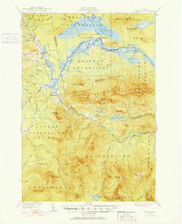
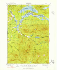
Flagstaff and its surrounding plantations define this 1920s landscape before the creation of the modern reservoir. The winding Dead River flows through a valley anchored by Flagstaff Plantation and Bigelow Plantation, where local landmarks like the Morgan Farm and Morgan Camp reflect early twentieth-century settlement patterns. To the south, the massive ridges of Bigelow Mountain and Sugarloaf Mountain dominate the terrain, separated from the valley floor by the South Branch Dead River. This topographic study documents the area's timber and recreational character prior to the major inundation of the river valley, capturing the original locations of Stratton and the Cathedral Pines grove. Surveyed in 1927 and 1928, the map details the intricate network of brooks and peaks including Crocker Town Mtn and Spaulding Mtn that once surrounded the historic village of Flagstaff.
Find a feature on this map
37 named features on this map. Tap any name to fly to it.
Don’t see what you’re looking for? This feature index may not catch every label — zoom into the map to look around manually.
Map Details
Editions of this 1928 Stratton Map
3 editions found
Other maps of this area

1925 · Pierce Pond
USGS Topo · 1:48,000

1927 · Pierce Pond
USGS Topo · 1:62,500

1928 · Chain Lakes
USGS Topo · 1:48,000

1928 · Spencer
USGS Topo · 1:48,000

1928 · Dead River
USGS Topo · 1:62,500

1929 · Phillips
USGS Topo · 1:48,000

1930 · Kingfield
USGS Topo · 1:48,000

1931 · Dead River
USGS Topo · 1:48,000

1932 · Phillips
USGS Topo · 1:62,500

1932 · Stratton
USGS Topo · 1:62,500