
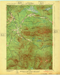
1932 Map of Stratton
USGS Topo · Published 1932About this map
Bigelow Mountain dominates the landscape of this 1932 Maine survey, its high peaks like Cranberry Peak and The Horns rising above a network of northern plantations and logging camps. The river-and-lake system of the era is preserved here before major mid-century hydroelectric changes, showing the original footprint of Flagstaff Pond and the winding course of the Dead River. Settlement is concentrated along the river valleys and ridges, where Eustis and the surrounding plantations like Flagstaff Plantation and Coplin Plantation supported a rural economy of farming and forestry. Significant local landmarks for genealogists and historians include the Browns Sch and Coplin Sch, as well as named camps like Morgan Camp and Skunk Brook Camp that reflect the region's long history as a destination for woodcraft and seasonal work. The survey also captures early peaks of modern recreation, including the Stratton Trail and summits like Sugarloaf Mtn and Crocker Mtn.
Find a feature on this map
65 named features on this map. Tap any name to fly to it.
Don’t see what you’re looking for? This feature index may not catch every label — zoom into the map to look around manually.
Map Details
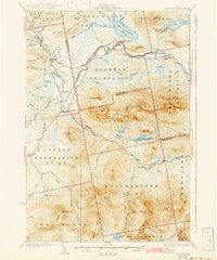
Editions of this 1932 Stratton Map
3 editions found
Other maps of this area

1925 · Pierce Pond
USGS Topo · 1:48,000

1927 · Pierce Pond
USGS Topo · 1:62,500

1928 · Chain Lakes
USGS Topo · 1:48,000

1928 · Spencer
USGS Topo · 1:48,000

1928 · Dead River
USGS Topo · 1:62,500

1928 · Stratton
USGS Topo · 1:48,000

1929 · Phillips
USGS Topo · 1:48,000

1930 · Kingfield
USGS Topo · 1:48,000

1931 · Dead River
USGS Topo · 1:48,000

1932 · Phillips
USGS Topo · 1:62,500