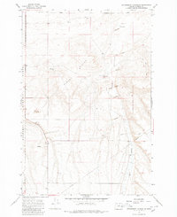
1968 Map of Strawberry Canyon NE
USGS Topo · Published 1979About this map
The Oregon Trail cuts across this Morrow County landscape, showing the historic path as it navigated the arid terrain of north-central Oregon in the late 1960s. The map illustrates a region defined by isolation and utility, where significant portions of the land were dedicated to the Boardman Bombing Range. This military presence sits alongside remnants of a ranching economy, indicated by the Blacksmith Shop, Corral, and Sand Ranch located along the eastern edge of Sand Hollow. The topography is dominated by the Finley Buttes and shifting Sand Dunes, punctuated by critical water sources such as Sand Lake and West Well. A prominent Pipeline and a network of Jeep Trails further emphasize the modern industrial and logistical layering over the ancestral wagon route.
Find a feature on this map
18 named features on this map. Tap any name to fly to it.
Don’t see what you’re looking for? This feature index may not catch every label — zoom into the map to look around manually.
Map Details
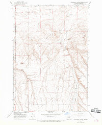
Editions of this 1968 Strawberry Canyon NE Map
2 editions found
Other maps of this area

1906 · Blalock Island
USGS Topo · 1:125,000

1908 · Blalock Island
USGS Topo · 1:125,000

1908 · Umatilla
USGS Topo · 1:125,000

1953 · Pendleton
USGS Topo · 1:250,000

1956 · Pendleton
USGS Topo · 1:250,000

1962 · Ordnance
USGS Topo · 1:24,000

1962 · Boardman
USGS Topo · 1:24,000

1962 · Clarke
USGS Topo · 1:24,000

1968 · Service Buttes NW
USGS Topo · 1:24,000

1968 · Butter Creek Junction
USGS Topo · 1:24,000