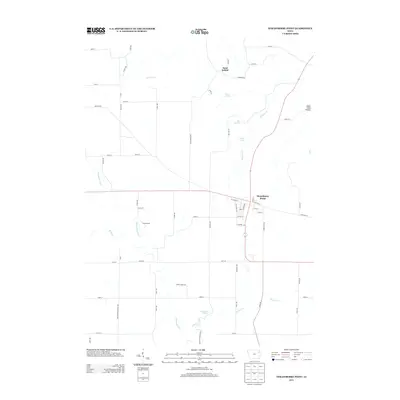
2013 Map of Strawberry Point
USGS Topo · Published 2013About this map
Strawberry Point serves as the primary hub in this eastern Iowa landscape, where the street grid meets the winding headwaters of the Maquoketa River. The town layout includes central thoroughfares such as W Spring St and E Mission St, while the surrounding countryside is defined by agricultural sections and a complex network of springs. Notable water features like Big Spring and Baron Spring feed into Kleinlein Cr and Hewett Cr, illustrating the hydrogeology of the region.
Find a feature on this map
67 named features on this map. Tap any name to fly to it.
Don’t see what you’re looking for? This feature index may not catch every label — zoom into the map to look around manually.
Map Details
Editions of this 2013 Strawberry Point Map
This is the sole edition of this map. No revisions or reprints were ever made.
Other maps of this area

1901 · Oelwein
USGS Topo · 1:125,000

1902 · Elkader
USGS Topo · 1:125,000

1959 · Dubuque
USGS Topo · 1:250,000

1961 · Dubuque
USGS Topo · 1:250,000

1962 · Dubuque
USGS Topo · 1:250,000

1964 · Edgewood
USGS Topo · 1:24,000
1964 · Elkader
USGS Topo · 1:24,000

1965 · Wadena
USGS Topo · 1:24,000

1965 · Thorpe
USGS Topo · 1:24,000

1965 · Strawberry Point
USGS Topo · 1:24,000