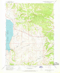
1966 Map of Strawberry Reservoir NE
USGS Topo · Published 1968About this map
Strawberry Reservoir dominates the western edge of this High Uinta landscape, showing its mid-century shoreline and the critical The Narrows passage. The topography was mapped from 1963 aerial photography, with the U.S. Bureau of Reclamation contributing underwater contours that reveal the submerged canyon floor. The rugged interior is defined by Windy Ridge and Square Top Mountain, where a network of Jeep Trails and Telephone Lines represent the era's infrastructure for water management and resource access. To the south, the Strawberry River meanders past Island Mountain and a Gaging Station, illustrating the hydrographic monitoring essential to this watershed. Notable landmarks like Chicken Spring, Stinking Springs, and Soldier Springs dot the drainages, serving as vital water points in an area carved by Coal Canyon and Badger Hollow.
Find a feature on this map
35 named features on this map. Tap any name to fly to it.
Don’t see what you’re looking for? This feature index may not catch every label — zoom into the map to look around manually.
Map Details
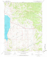
Editions of this 1966 Strawberry Reservoir NE Map
2 editions found
Other maps of this area

1885 · Salt Lake
USGS Topo · 1:250,000

1885 · Uinta
USGS Topo · 1:250,000

1907 · Strawberry Valley
USGS Topo · 1:125,000

1909 · Strawberry Valley
USGS Topo · 1:125,000

1954 · Salt Lake City
USGS Topo · 1:250,000

1958 · Salt Lake City
USGS Topo · 1:250,000

1960 · Salt Lake City
USGS Topo · 1:250,000

1962 · Deep Creek Canyon
USGS Topo · 1:24,000

1962 · Raspberry Knoll
USGS Topo · 1:24,000
1962 · Strawberry Peak
USGS Topo · 1:24,000