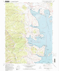
1994 Map of Strawberry Reservoir NW
USGS Topo · Published 1994About this map
Strawberry Valley defines this section of the Uinta National Forest, dominated by the expansive blue of the Strawberry Reservoir. The map illustrates a high-altitude recreation landscape in the mid-1990s, characterized by numerous bays such as Jakes Bay and Rainbow Bay, and specialized infrastructure like the Strawberry Bay Recreation Complex and Strawberry Visitors Center.
Find a feature on this map
60 named features on this map. Tap any name to fly to it.
Don’t see what you’re looking for? This feature index may not catch every label — zoom into the map to look around manually.
Map Details
Editions of this 1994 Strawberry Reservoir NW Map
This is the sole edition of this map. No revisions or reprints were ever made.
Other maps of this area

1885 · Salt Lake
USGS Topo · 1:250,000

1907 · Strawberry Valley
USGS Topo · 1:125,000

1909 · Strawberry Valley
USGS Topo · 1:125,000

1954 · Salt Lake City
USGS Topo · 1:250,000

1958 · Salt Lake City
USGS Topo · 1:250,000

1960 · Salt Lake City
USGS Topo · 1:250,000

1966 · Strawberry Reservoir NW
USGS Topo · 1:24,000
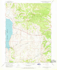
1966 · Strawberry Reservoir NE
USGS Topo · 1:24,000
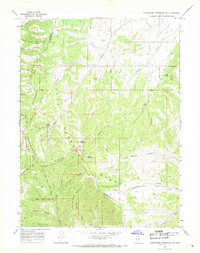
1966 · Strawberry Reservoir SW
USGS Topo · 1:24,000

1967 · Two Tom Hill
USGS Topo · 1:24,000