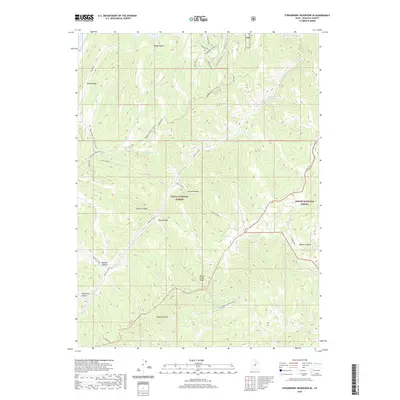
2020 Map of Strawberry Reservoir SE
USGS Topo · Published 2020About this map
Uinta National Forest and Ashley National Forest converge across this high-elevation terrain, where steep ridges and deep drainages define the landscape. The Strawberry River flows through the northeastern corner, fed by a complex network of seasonal streams and canyons, including Center Canyon, Buffalo Canyon, and Beaver Canyon. This area is marked by a clear distinction between the rugged backcountry and modern seasonal developments, as seen in the residential grid of streets like S Strawberry Pines Blvd and S Kokanee Dr near the northern boundary. Numerous water sources such as White Point Spring, Sid Spring, and Truck Spring are scattered throughout the forest, suggesting the critical importance of these points for both wildlife and human activity. Specialized transportation routes are also documented, including the Ridgeline Winter (Snow) and Big Springs Spur Winter (Snow) trails.
Find a feature on this map
32 named features on this map. Tap any name to fly to it.
Don’t see what you’re looking for? This feature index may not catch every label — zoom into the map to look around manually.
Map Details
Editions of this 2020 Strawberry Reservoir SE Map
This is the sole edition of this map. No revisions or reprints were ever made.
Other maps of this area

1885 · Salt Lake
USGS Topo · 1:250,000

1885 · Manti
USGS Topo · 1:250,000

1885 · Uinta
USGS Topo · 1:250,000

1886 · Price River
USGS Topo · 1:250,000

1895 · Manti
USGS Topo · 1:250,000

1896 · Price River
USGS Topo · 1:250,000

1907 · Strawberry Valley
USGS Topo · 1:125,000

1909 · Strawberry Valley
USGS Topo · 1:125,000

1939 · Soldier Summit
USGS Topo · 1:62,500

1942 · Soldier Summit
USGS Topo · 1:62,500