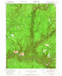
1948 Map of Strawberry Valley
USGS Topo · Published 1965About this map
Strawberry Valley and the surrounding Sierra Nevada foothills appear here as they were shortly after World War II, a landscape defined by the intersection of gold-mining history and the timber industry. The North Fork Yuba River cuts through the southern reaches of the map, flanked by numerous bars such as Alabama Bar, State Range Bar, and Kelly Bar, which speak to the area’s intensive river mining era. This survey, based on 1946-1947 aerial photography, documents the transitional state of former boomtowns like Brandy City and Eagleville as they evolved into quieter mountain settlements.
Find a feature on this map
72 named features on this map. Tap any name to fly to it.
Don’t see what you’re looking for? This feature index may not catch every label — zoom into the map to look around manually.
Map Details
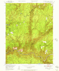
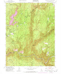
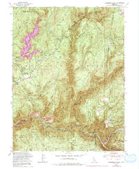
Editions of this 1948 Strawberry Valley Map
4 editions found
Other maps of this area

1888 · Smartsville
USGS Topo · 1:125,000

1888 · Bidwell Bar
USGS Topo · 1:125,000

1891 · Bidwell Bar
USGS Topo · 1:125,000

1891 · Downieville
USGS Topo · 1:125,000

1891 · Colfax
USGS Topo · 1:125,000

1891 · Smartsville
USGS Topo · 1:125,000

1892 · Smartsville
USGS Topo · 1:125,000

1892 · Colfax
USGS Topo · 1:125,000

1893 · Bidwell Bar
USGS Topo · 1:125,000

1893 · Downieville
USGS Topo · 1:125,000