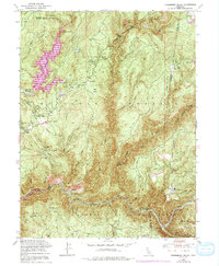
1948 Map of Strawberry Valley
USGS Topo · Published 1991About this map
Brandy City and the surrounding gold-country landscape are captured here in the late 1940s, showing a region defined by high ridges and deep river canyons at the intersection of Butte, Plumas, Sierra, and Yuba counties. The terrain is dominated by significant elevations such as Mooreville Ridge, Harrison Ridge, and Peterson Ridge, which separate the various watersheds flowing toward the North Fork Yuba River. Remnants of the region's hydraulic mining history are evident in the Tailings and the presence of the Palace Mine (Abandoned).
Find a feature on this map
62 named features on this map. Tap any name to fly to it.
Don’t see what you’re looking for? This feature index may not catch every label — zoom into the map to look around manually.
Map Details
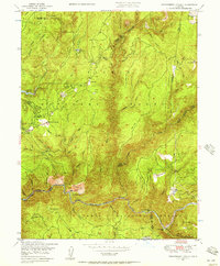
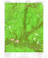
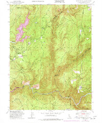
Editions of this 1948 Strawberry Valley Map
4 editions found
Other maps of this area

1888 · Smartsville
USGS Topo · 1:125,000

1888 · Bidwell Bar
USGS Topo · 1:125,000

1891 · Bidwell Bar
USGS Topo · 1:125,000

1891 · Downieville
USGS Topo · 1:125,000

1891 · Colfax
USGS Topo · 1:125,000

1891 · Smartsville
USGS Topo · 1:125,000

1892 · Smartsville
USGS Topo · 1:125,000

1892 · Colfax
USGS Topo · 1:125,000

1893 · Bidwell Bar
USGS Topo · 1:125,000

1893 · Downieville
USGS Topo · 1:125,000