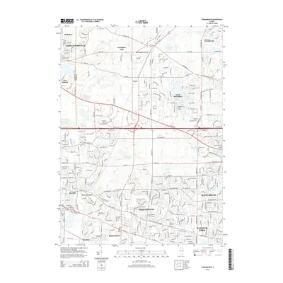
2015 Map of Streamwood
USGS Topo · Published 2015About this map
Streamwood and its neighboring Cook County suburbs appear here in 2015, showing a landscape defined by residential development and protected forest preserves. The intricate network of Poplar Creek and its branches, such as E Br Poplar Creek, wind through the suburban blocks, feeding into local water bodies like Beverly Lake and Bode Lakes. This modern topographical study reveals the conversion of former farmland into a complex urban grid, yet it retains legacy markers of an earlier era. Local history is grounded in sites like Union Cem and Greve Cem, while specialized land use is seen at the Mill Rose Farm /RLA/ Airport. The presence of the Milwaukee Road corridor and large industrial/commercial signatures like the Barrington Medical Center illustrate the regional infrastructure supporting these communities.
Find a feature on this map
136 named features on this map. Tap any name to fly to it.
Don’t see what you’re looking for? This feature index may not catch every label — zoom into the map to look around manually.
Map Details
Editions of this 2015 Streamwood Map
This is the sole edition of this map. No revisions or reprints were ever made.
Other maps of this area

1908 · Wheaton
USGS Topo · 1:62,500

1923 · Barrington
USGS Topo · 1:62,500

1925 · Elgin
USGS Topo · 1:62,500

1932 · Geneva
USGS Topo · 1:62,500

1935 · Barrington
USGS Topo · 1:62,500

1940 · Elgin
USGS Topo · 1:62,500

1948 · Wheaton
USGS Topo · 1:62,500

1948 · Geneva
USGS Topo · 1:62,500

1949 · Geneva
USGS Topo · 1:24,000

1953 · West Chicago
USGS Topo · 1:24,000