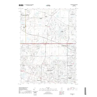
2018 Map of Streamwood
USGS Topo · Published 2018About this map
Streamwood and the surrounding Chicago suburbs of the Cook-Kane county line are depicted in this 2018 survey, reflecting a densely woven landscape of residential subdivisions and preserved natural pockets. The topography is defined by the glacial legacy of the region, featuring numerous small bodies of water like Penny Road Pond, Crabtree Lake, and Bode Lakes. The drainage pattern is led by Poplar Cr, which winds through the central corridor near Hoffman Estates.
Find a feature on this map
116 named features on this map. Tap any name to fly to it.
Don’t see what you’re looking for? This feature index may not catch every label — zoom into the map to look around manually.
Map Details
Editions of this 2018 Streamwood Map
This is the sole edition of this map. No revisions or reprints were ever made.
Other maps of this area

1908 · Wheaton
USGS Topo · 1:62,500

1923 · Barrington
USGS Topo · 1:62,500

1925 · Elgin
USGS Topo · 1:62,500

1932 · Geneva
USGS Topo · 1:62,500

1935 · Barrington
USGS Topo · 1:62,500

1940 · Elgin
USGS Topo · 1:62,500

1948 · Wheaton
USGS Topo · 1:62,500

1948 · Geneva
USGS Topo · 1:62,500

1949 · Geneva
USGS Topo · 1:24,000

1953 · West Chicago
USGS Topo · 1:24,000