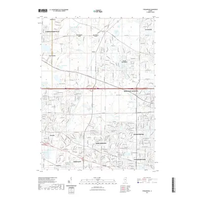
2021 Map of Streamwood
USGS Topo · Published 2021About this map
Streamwood and its neighboring Cook and Kane County communities are captured here during a period of sustained suburban development. The landscape is characterized by its numerous natural and man-made water features, from the expansive Crabtree Lake in the north to the Bode Lakes and Lake of the Coves tucked into residential clusters. Between the larger hubs of Elgin and Schaumburg, smaller localities like Sutton, Spaulding, and Barrington Center retain their distinct identities amidst the grid of evolving transit corridors like Dundee Rd and Higgins Rd. Genealogists and local researchers can locate the Greve Cem near the eastern boundary and the expansive Lakewood Memorial Park to the south. The presence of the Bluff Spring Fen near the southwestern edge provides a contrast to the dense residential layouts of Hanover Park and Hoffman Estates, showing the preservation of specific wetland environments within the modern suburban sprawl.
Find a feature on this map
296 named features on this map. Tap any name to fly to it.
Don’t see what you’re looking for? This feature index may not catch every label — zoom into the map to look around manually.
Map Details
Editions of this 2021 Streamwood Map
This is the sole edition of this map. No revisions or reprints were ever made.
Other maps of this area

1908 · Wheaton
USGS Topo · 1:62,500

1923 · Barrington
USGS Topo · 1:62,500

1925 · Elgin
USGS Topo · 1:62,500

1932 · Geneva
USGS Topo · 1:62,500

1935 · Barrington
USGS Topo · 1:62,500

1940 · Elgin
USGS Topo · 1:62,500

1948 · Wheaton
USGS Topo · 1:62,500

1948 · Geneva
USGS Topo · 1:62,500

1949 · Geneva
USGS Topo · 1:24,000

1953 · West Chicago
USGS Topo · 1:24,000