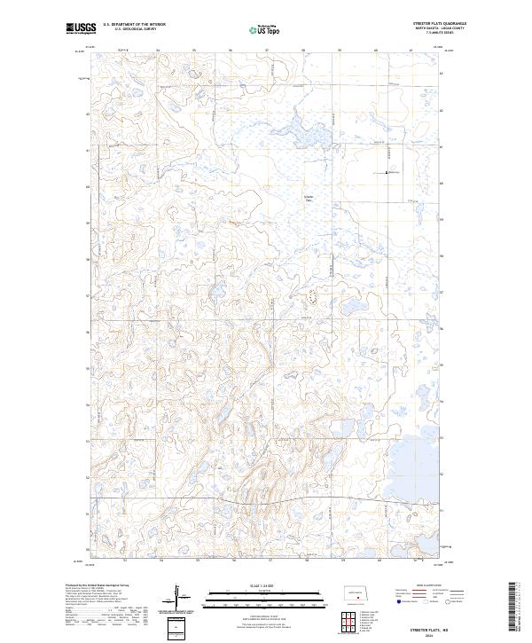
2024 Map of Streeter Flats
USGS Topo · Published 2024About this map
Streeter Flats defines this portion of Logan County, characterized by a complex network of prairie potholes and wetlands. This landscape is a vital component of the Central Flyway, as evidenced by the multiple tracts of the Logan County Waterfowl Production Area scattered across the township lines. These protected lands alternate with a rigid grid of section-line roads, including 43rd Ave SE and 61st St SE, which provide access to the rural farmsteads of the region. For those researching local family history, the Miller Cem is located in the northeastern quadrant of the quadrangle, serving as a quiet landmark amidst the glacial till and water-filled depressions that dominate the terrain. The map reflects a modern landscape where conservation and agriculture coexist within the legal frameworks of t136n r71w and surrounding townships.
Find a feature on this map
19 named features on this map. Tap any name to fly to it.
Don’t see what you’re looking for? This feature index may not catch every label — zoom into the map to look around manually.
Map Details
Editions of this 2024 Streeter Flats Map
This is the sole edition of this map. No revisions or reprints were ever made.
Other maps of this area

1953 · Jamestown
USGS Topo · 1:250,000

1956 · Jamestown
USGS Topo · 1:250,000

1982 · Wishek NE
USGS Topo · 1:24,000

1982 · Burnstad
USGS Topo · 1:24,000

1982 · Lehr NW
USGS Topo · 1:24,000

1983 · Streeter SW
USGS Topo · 1:24,000

1983 · Alkaline Lake SW
USGS Topo · 1:24,000

1983 · Alkaline Lake
USGS Topo · 1:24,000

1983 · Streeter NW
USGS Topo · 1:24,000

1983 · Alkaline Lake NW
USGS Topo · 1:24,000