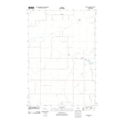
2010 Map of Strickland
USGS Topo · Published 2010About this map
Strickland and Lehigh anchor the southeastern corner of this Barron County landscape, where the rural grid meets the winding waters of Moose Ear Creek. The topography is defined by significant drainage systems, including the northern flow of Rock Creek and its passage through Gundys Canyon. The local settlement pattern follows a strict rectilinear road network, yet historical and community markers like Assumption Cemetery and the cluster of small lakes provide specific points of interest for those tracing family roots in the area.
Find a feature on this map
40 named features on this map. Tap any name to fly to it.
Don’t see what you’re looking for? This feature index may not catch every label — zoom into the map to look around manually.
Map Details
Editions of this 2010 Strickland Map
This is the sole edition of this map. No revisions or reprints were ever made.
Other maps of this area

1945 · Meteor
USGS Topo · 1:48,000

1948 · Weyerhauser
USGS Topo · 1:48,000

1949 · Meteor
USGS Topo · 1:48,000

1949 · Rice Lake
USGS Topo · 1:48,000

1950 · Weyerhauser
USGS Topo · 1:48,000

1951 · Rice Lake
USGS Topo · 1:48,000

1951 · Chetek
USGS Topo · 1:62,500

1953 · Rice Lake
USGS Topo · 1:250,000

1959 · Rice Lake
USGS Topo · 1:250,000

1965 · Rice Lake
USGS Topo · 1:62,500