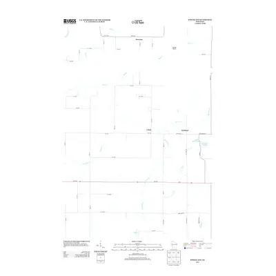
2013 Map of Strickland
USGS Topo · Published 2013About this map
Strickland and Lehigh serve as the primary focal points of this Barron County landscape, where the rural grid of the early 21st century meets a network of meandering waterways. The topography is defined by the winding course of Moose Ear Cr, which flows southward toward Coudray Lake, and the dramatic incision of Gundys Canyon near Rock Cr in the north. The presence of Old Highway 14 alongside the modern corridor of Us-8 indicates the evolution of local transit, while namesake roads like Slack Rd, Log Cabin Rd, and Romanowski Ln hint at the family lineages and local histories tied to these agricultural lands. To the east, the basin of Big Bowker Lake and its smaller neighbor Little Bowker Lake add distinct hydrological features to this pocket of Wisconsin's glacial terrain, documented here just after the turn of the decade.
Find a feature on this map
42 named features on this map. Tap any name to fly to it.
Don’t see what you’re looking for? This feature index may not catch every label — zoom into the map to look around manually.
Map Details
Editions of this 2013 Strickland Map
This is the sole edition of this map. No revisions or reprints were ever made.
Other maps of this area

1945 · Meteor
USGS Topo · 1:48,000

1948 · Weyerhauser
USGS Topo · 1:48,000

1949 · Meteor
USGS Topo · 1:48,000

1949 · Rice Lake
USGS Topo · 1:48,000

1950 · Weyerhauser
USGS Topo · 1:48,000

1951 · Rice Lake
USGS Topo · 1:48,000

1951 · Chetek
USGS Topo · 1:62,500

1953 · Rice Lake
USGS Topo · 1:250,000

1959 · Rice Lake
USGS Topo · 1:250,000

1965 · Rice Lake
USGS Topo · 1:62,500