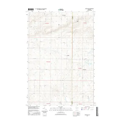
2015 Map of Strickland
USGS Topo · Published 2015About this map
Blue Hills and the winding course of Moose Ear Creek define the geography of this northern Wisconsin landscape, where the border of Barron and Rusk counties meets. Small settlements like Strickland, Lehigh, and Horseman are connected by a grid of rural avenues and county highways, including CO Hwy C. The map provides specific detail for local historians, showing the location of the Assumption Cemetery and numerous family-named natural landmarks such as Gundys Canyon. Drainage patterns are well-defined by a network of waterways including Rock Creek, German Creek, and Tenmile Creek, which flow through the forested and agricultural terrain. Lake features such as Big Bowker Lake and Little Bowker Lake offer insights into the glacial topography of the region, while the township and range lines mark the historical land division system used for settling this portion of the state.
Find a feature on this map
35 named features on this map. Tap any name to fly to it.
Don’t see what you’re looking for? This feature index may not catch every label — zoom into the map to look around manually.
Map Details
Editions of this 2015 Strickland Map
This is the sole edition of this map. No revisions or reprints were ever made.
Other maps of this area

1945 · Meteor
USGS Topo · 1:48,000

1948 · Weyerhauser
USGS Topo · 1:48,000

1949 · Meteor
USGS Topo · 1:48,000

1949 · Rice Lake
USGS Topo · 1:48,000

1950 · Weyerhauser
USGS Topo · 1:48,000

1951 · Rice Lake
USGS Topo · 1:48,000

1951 · Chetek
USGS Topo · 1:62,500

1953 · Rice Lake
USGS Topo · 1:250,000

1959 · Rice Lake
USGS Topo · 1:250,000

1965 · Rice Lake
USGS Topo · 1:62,500