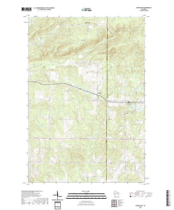
2022 Map of Strickland
USGS Topo · Published 2022About this map
The Blue Hills rise prominently along the border of Barron and Rusk counties, anchoring a landscape defined by glacial relics and small rural crossroads. The settlement of Horseman sits near the northern boundary, while the community of Lehigh marks the central portion of the quadrangle. A significant local landmark, the Assumption of the Blessed Virgin Mary Cem, is situated in the eastern reaches near Big Bowker Lake and Little Bowker Lake. The drainage pattern is intricate, with Moose Ear Cr and Silver Cr carving through the terrain alongside German Cr and Tenmile Cr. This modern survey illustrates the persistent rural character of northwestern Wisconsin, where a grid of secondary roads like Co HWY C and Moose Ear Rd provides access to timberlands and remote wetlands such as those surrounding Coudray Lake.
Find a feature on this map
35 named features on this map. Tap any name to fly to it.
Don’t see what you’re looking for? This feature index may not catch every label — zoom into the map to look around manually.
Map Details
Editions of this 2022 Strickland Map
This is the sole edition of this map. No revisions or reprints were ever made.
Other maps of this area

1945 · Meteor
USGS Topo · 1:48,000

1948 · Weyerhauser
USGS Topo · 1:48,000

1949 · Meteor
USGS Topo · 1:48,000

1949 · Rice Lake
USGS Topo · 1:48,000

1950 · Weyerhauser
USGS Topo · 1:48,000

1951 · Rice Lake
USGS Topo · 1:48,000

1951 · Chetek
USGS Topo · 1:62,500

1953 · Rice Lake
USGS Topo · 1:250,000

1959 · Rice Lake
USGS Topo · 1:250,000

1965 · Rice Lake
USGS Topo · 1:62,500