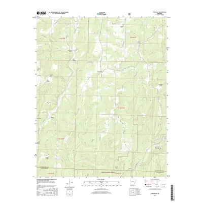
2017 Map of Strickler
USGS Topo · Published 2017About this map
Strickler and the surrounding woodlands of the Ozark National Forest are defined by a complex network of hollows and ridges along the Washington Co and Crawford Co line. The terrain is marked by numerous family and community landmarks, including the Morrow Cem, Scott Cem, and Dunkard Cem, which reflect the generations of settlement in this part of the Boston Mountains. Water courses like Cove Cr and Fall Cr carve through the landscape, creating distinct geographic features such as Devils Den Natural Bridge. Small communities like Onda and Floss are connected by winding routes such as Stagecoach Rd and State Hwy 220. The map documents a landscape where agricultural clearings and rural homesteads are deeply integrated into the forest and steep terrain of Skylight Mtn and Cherry Knob.
Find a feature on this map
67 named features on this map. Tap any name to fly to it.
Don’t see what you’re looking for? This feature index may not catch every label — zoom into the map to look around manually.
Map Details
Editions of this 2017 Strickler Map
This is the sole edition of this map. No revisions or reprints were ever made.
Other maps of this area

1898 · Winslow #4
USGS Topo · 1:62,500

1898 · Winslow #3
USGS Topo · 1:62,500

1898 · Winslow
USGS Topo · 1:125,000

1901 · Winslow
USGS Topo · 1:125,000

1946 · Fort Smith
USGS Topo · 1:250,000

1965 · Fort Smith
USGS Topo · 1:250,000

1967 · Fort Smith
USGS Topo · 1:250,000

1969 · Natural Dam
USGS Topo · 1:24,000
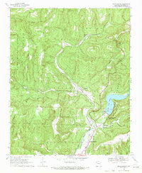
1969 · Mountainburg
USGS Topo · 1:24,000
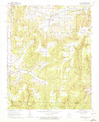
1970 · Evansville
USGS Topo · 1:24,000