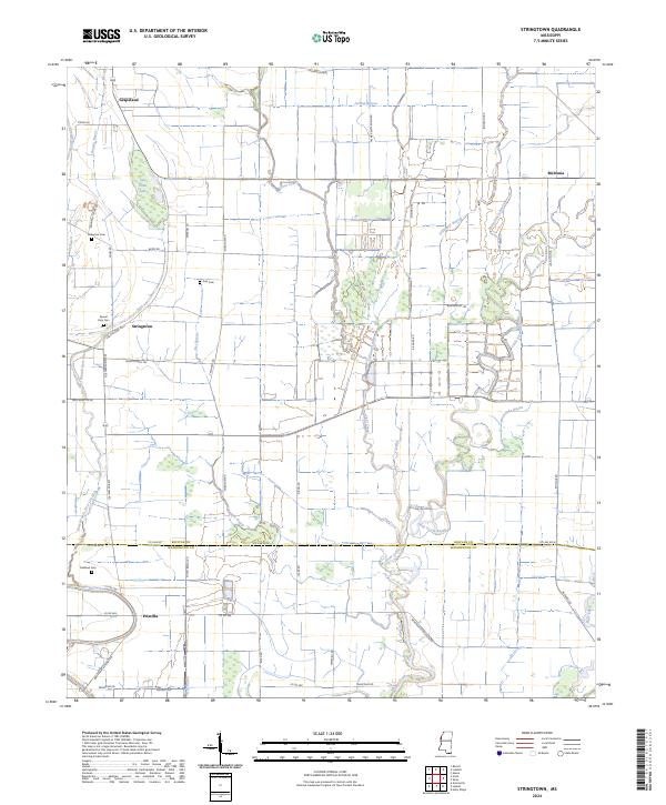
2024 Map of Stringtown
USGS Topo · Published 2024About this map
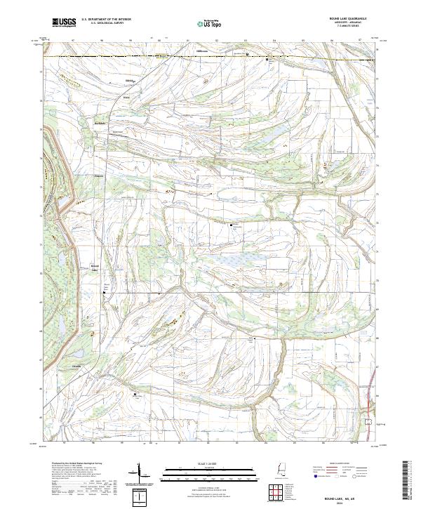
Agricultural patterns and meandering watercourses define the landscape of the Mississippi Delta near Stringtown. This modern survey reveals a region shaped by its drainage networks, where Stillwater Bayou, Pistol Slough, and the branching East Branch Deer Creek navigate the low-lying terrain. The rural character is punctuated by small settlements like Grapeland and Meltonia, which are connected by a grid of named local routes such as Chisholm Rd and Resettlement Rd.
Find a feature on this map
58 named features on this map. Tap any name to fly to it.
Don’t see what you’re looking for? This feature index may not catch every label — zoom into the map to look around manually.
Map Details
Editions of this 2024 Stringtown Map
This is the sole edition of this map. No revisions or reprints were ever made.
Historical Maps of Priscilla Through Time
10 maps found

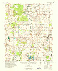
1939 Choctaw
Bolivar County, MS
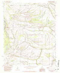
1939 Lamont
Bolivar County, MS
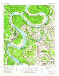
1967 Lobdell
Bolivar County, MS
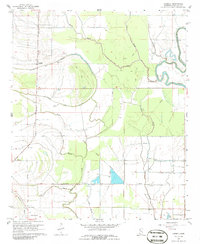
1967 Stringtown
Bolivar County, MS
1969 Choctaw
Bolivar County, MS
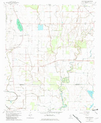
1982 Round Lake
Bolivar County, MS
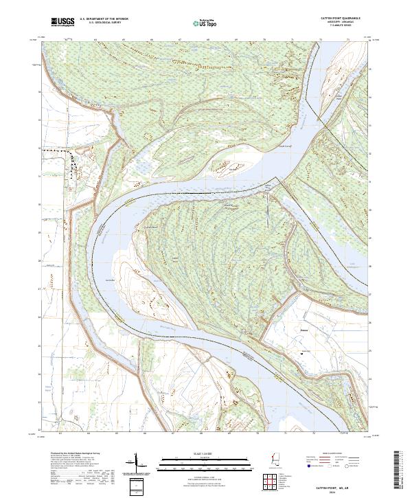
2024 Catfish Point
Bolivar County, MS
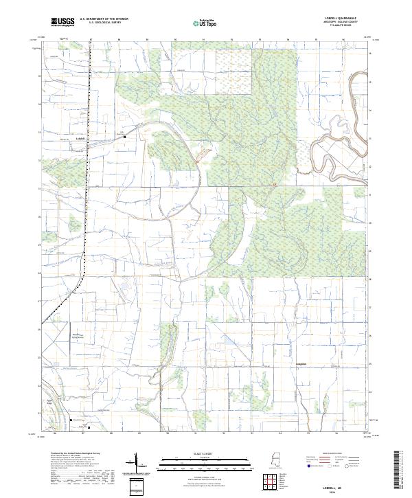
2024 Lobdell
Bolivar County, MS
2024 Round Lake
Bolivar County, MS
2024 Stringtown
Bolivar County, MS