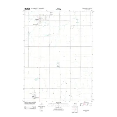
2011 Map of Stromsburg
USGS Topo · Published 2011About this map
The Big Blue River snakes through this section of Polk County, defining a landscape marked by both agricultural management and local recreation. In the northern portion of the map, Stromsburg serves as a primary hub, featuring the Stromsburg Post Office and the nearby Stromsburg Municipal Airport. The town's grid extends toward the Stromsburg Municipal Cemetery and the Buckley Park Campground, illustrating the community's established infrastructure. To the south, the smaller settlement of Benedict anchors the lower township with its own Benedict Post Office. A significant hydrological pattern is visible through a series of named impoundments including Olson Reservoir, Mentink Reservoir, and Dickson Reservoir, each supported by their respective dams. These features reflect the 21st-century water management practices essential to the Nebraska prairie, where the Prairie Creek also contributes to the local drainage system.
Find a feature on this map
44 named features on this map. Tap any name to fly to it.
Don’t see what you’re looking for? This feature index may not catch every label — zoom into the map to look around manually.
Map Details
Editions of this 2011 Stromsburg Map
This is the sole edition of this map. No revisions or reprints were ever made.
Other maps of this area

1896 · Stromsburg
USGS Topo · 1:125,000

1898 · York
USGS Topo · 1:125,000

1899 · David City
USGS Topo · 1:125,000

1899 · York
USGS Topo · 1:125,000

1934 · Utica
USGS Topo · 1:62,500

1937 · Utica
USGS Topo · 1:62,500

1955 · Fremont
USGS Topo · 1:250,000

1955 · Lincoln
USGS Topo · 1:250,000

1957 · Fremont
USGS Topo · 1:250,000

1957 · Lincoln
USGS Topo · 1:250,000