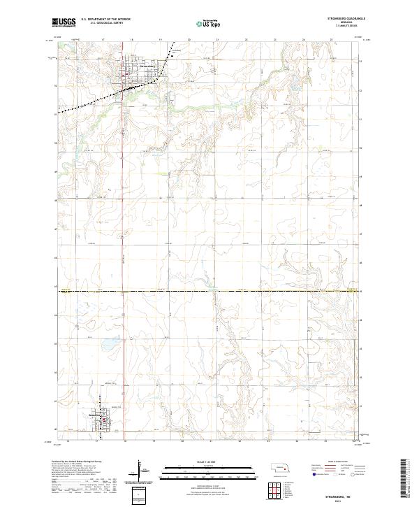
2021 Map of Stromsburg
USGS Topo · Published 2021About this map
Stromsburg serves as the primary municipal hub in this portion of Polk County, situated at the confluence of several key regional routes and the Big Blue River. The town's grid is meticulously detailed, showing the layout of Main St and Commercial St alongside institutions such as the Stromsburg Cem to the north. This area reflects a classic Nebraska agricultural landscape where the drainage of the Prairie Cr and the river system are supplemented by local water management features like Olson Reservoir and Mentink Reservoir. Further south, the town of Benedict in York County anchors the bottom of the sheet, providing a view of the rural transition across the county line. The map captures the enduring township and range structure, marked by a precise network of section-line roads like 126th Rd and Co Rd M that define the local economy and property boundaries.
Find a feature on this map
66 named features on this map. Tap any name to fly to it.
Don’t see what you’re looking for? This feature index may not catch every label — zoom into the map to look around manually.
Map Details
Editions of this 2021 Stromsburg Map
This is the sole edition of this map. No revisions or reprints were ever made.
Other maps of this area

1896 · Stromsburg
USGS Topo · 1:125,000

1898 · York
USGS Topo · 1:125,000

1899 · David City
USGS Topo · 1:125,000

1899 · York
USGS Topo · 1:125,000

1934 · Utica
USGS Topo · 1:62,500

1937 · Utica
USGS Topo · 1:62,500

1955 · Fremont
USGS Topo · 1:250,000

1955 · Lincoln
USGS Topo · 1:250,000

1957 · Fremont
USGS Topo · 1:250,000

1957 · Lincoln
USGS Topo · 1:250,000