
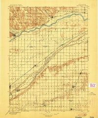
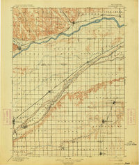
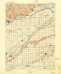
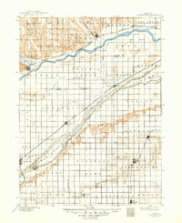
1896 Map of Stromsburg
USGS Topo · Published 1896About this map
Stromsburg and Osceola anchor this late-nineteenth-century survey of east-central Nebraska, where the agricultural grid meets the winding courses of the Platte River and Loup River. The landscape is dominated by the sprawling Union Pacific R. R., which dictates the placement of shipping points like Clarks and Silver Creek. This era of development shows a heavy reliance on the river valleys for both transport and settlement, with Central City positioned near the wide braided channels and Warm Slough. Further north, Fullerton and Genoa sit along the Loup, while the southern reaches near Arborville and Benedict transition toward the headwaters of the Big Blue River. The map meticulously records the township and range lines that carved the prairie into a productive patchwork of Pleasant, Stromsburg, and Arborville precincts.
Find a feature on this map
52 named features on this map. Tap any name to fly to it.
Don’t see what you’re looking for? This feature index may not catch every label — zoom into the map to look around manually.
Map Details
Editions of this 1896 Stromsburg Map
5 editions found
Other maps of this area

1898 · York
USGS Topo · 1:125,000

1898 · Grand Island
USGS Topo · 1:125,000

1899 · David City
USGS Topo · 1:125,000

1899 · St. Paul
USGS Topo · 1:125,000

1899 · York
USGS Topo · 1:125,000

1934 · Utica
USGS Topo · 1:62,500

1937 · Utica
USGS Topo · 1:62,500

1954 · Belgrade
USGS Topo · 1:24,000

1954 · Cedar Rapids SE
USGS Topo · 1:24,000

1955 · Broken Bow
USGS Topo · 1:250,000