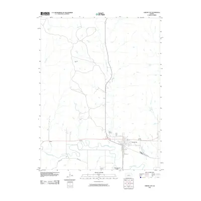
2010 Map of Strong City
USGS Topo · Published 2010About this map
Strong City sits at the heart of this landscape, where the Cottonwood River carves a winding path through the Kansas prairie. The town's grid, defined by streets such as Santa Fe St and Cottonwood St, reflects its historical development as a rail-oriented settlement. To the west lies Neva, while the industrial footprint of the region is evidenced by the Davis Gas Field located north of the river. The area's local genealogy is well-documented through several burial grounds, including the Strong Township Cemetery and the Saint Anthony Cemetery near the river bend. The surrounding terrain is defined by a network of drainage systems like Fox Creek, Stout Run, and Prather Creek, illustrating a classic Tallgrass Prairie drainage pattern. This survey provides a clear view of the rural infrastructure as it existed in the early twenty-first century, before significant modern shifts in agricultural and industrial land use changed the local character.
Find a feature on this map
23 named features on this map. Tap any name to fly to it.
Don’t see what you’re looking for? This feature index may not catch every label — zoom into the map to look around manually.
Map Details
Editions of this 2010 Strong City Map
This is the sole edition of this map. No revisions or reprints were ever made.
Other maps of this area

1885 · Eskridge
USGS Topo · 1:125,000

1888 · Emporia
USGS Topo · 1:125,000

1889 · Parkerville
USGS Topo · 1:125,000

1889 · Eskridge
USGS Topo · 1:125,000

1894 · Emporia
USGS Topo · 1:125,000

1894 · Eskridge
USGS Topo · 1:125,000

1894 · Parkerville
USGS Topo · 1:125,000

1898 · Cottonwood Falls
USGS Topo · 1:125,000

1955 · Hutchinson
USGS Topo · 1:250,000

1957 · Elmdale
USGS Topo · 1:24,000