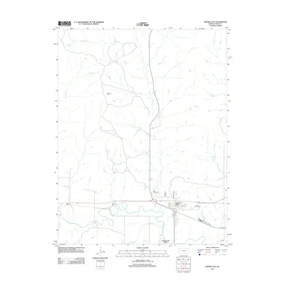
2012 Map of Strong City
USGS Topo · Published 2012About this map
Strong City and Cottonwood Falls anchor this survey of the Chase County landscape, situated where the Cottonwood River meanders across the southern plains. The area is defined by its water system, including the prominent north-south flow of Fox Cr and several smaller tributaries like Prather Cr and Stout Run. To the west, the settlement of Neva marks a point of historical interest along the rail corridor.
Find a feature on this map
24 named features on this map. Tap any name to fly to it.
Don’t see what you’re looking for? This feature index may not catch every label — zoom into the map to look around manually.
Map Details
Editions of this 2012 Strong City Map
This is the sole edition of this map. No revisions or reprints were ever made.
Other maps of this area

1885 · Eskridge
USGS Topo · 1:125,000

1888 · Emporia
USGS Topo · 1:125,000

1889 · Parkerville
USGS Topo · 1:125,000

1889 · Eskridge
USGS Topo · 1:125,000

1894 · Emporia
USGS Topo · 1:125,000

1894 · Eskridge
USGS Topo · 1:125,000

1894 · Parkerville
USGS Topo · 1:125,000

1898 · Cottonwood Falls
USGS Topo · 1:125,000

1955 · Hutchinson
USGS Topo · 1:250,000

1957 · Elmdale
USGS Topo · 1:24,000