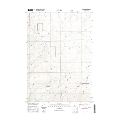
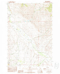
2013 Map of Stroud Creek
USGS Topo · Published 2013About this map
The Salmon National Forest dominates this high-altitude landscape in the Lemhi Range, where the terrain is defined by steep drainages and isolated alpine features. The map illustrates a network of Forest Service infrastructure, including Alder Creek Rd and Everson Creek Rd, which provide access to the various gulches and canyons. Everson Lake and Dairy Creek B represent the high-elevation water sources in the southern portion of the quadrangle, while Devils Canyon highlights the dramatic relief of the eastern slopes. This 2013 survey is particularly valuable for tracing modern forest management roads and primitive trails like NFD 096 Trl through the diverse topography of Jack Smith Gulch and Bates Gulch, offering a clear picture of the hydrological patterns of Stroud Cr and its tributaries.
Find a feature on this map
34 named features on this map. Tap any name to fly to it.
Don’t see what you’re looking for? This feature index may not catch every label — zoom into the map to look around manually.
Map Details
Editions of this 2013 Stroud Creek Map
This is the sole edition of this map. No revisions or reprints were ever made.
Other maps of this area

1955 · Dubois
USGS Topo · 1:250,000

1956 · Leadore
USGS Topo · 1:62,500

1956 · Patterson
USGS Topo · 1:62,500

1956 · Lemhi
USGS Topo · 1:62,500

1958 · Dubois
USGS Topo · 1:250,000
1965 · Goat Mountain
USGS Topo · 1:24,000

1980 · Leadore
USGS Topo · 1:100,000
1987 · West of Leadore
USGS Topo · 1:24,000
1987 · Sheephorn Peak
USGS Topo · 1:24,000
1989 · Lemhi
USGS Topo · 1:24,000