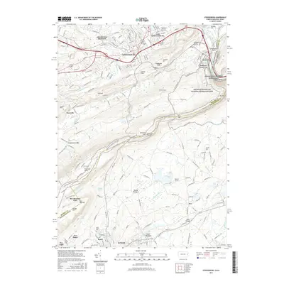
2016 Map of Stroudsburg
USGS Topo · Published 2016About this map
Stroudsburg and East Stroudsburg serve as the urban centers of this Pennsylvania landscape, where the confluence of Brodhead Creek and Pocono Cr meets the larger Delaware River. The topography is dominated by the dramatic ridgeline of Kittatinny Mtn and Blue Mountain, featuring geological curiosities like The Big Offset and The Little Offset. The Appalachian National Scenic Trail traces these heights, overlooking the Delaware Water Gap National Recreation Area.
Find a feature on this map
61 named features on this map. Tap any name to fly to it.
Don’t see what you’re looking for? This feature index may not catch every label — zoom into the map to look around manually.
Map Details
Editions of this 2016 Stroudsburg Map
This is the sole edition of this map. No revisions or reprints were ever made.
Other maps of this area

1891 · Delaware Water Gap
USGS Topo · 1:62,500

1893 · Delaware Water Gap
USGS Topo · 1:62,500

1914 · Wind Gap
USGS Topo · 1:62,500

1916 · Wind Gap
USGS Topo · 1:62,500

1919 · Pocono
USGS Topo · 1:62,500

1921 · Pocono
USGS Topo · 1:62,500

1923 · Pocono
USGS Topo · 1:62,500

1924 · Bushkill
USGS Topo · 1:48,000

1936 · Delaware Water Gap
USGS Topo · 1:48,000

1941 · Delaware Water Gap
USGS Topo · 1:62,500