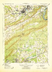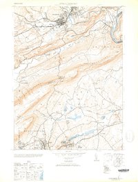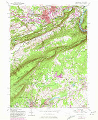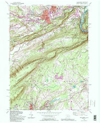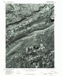
1976 Map of Stroudsburg
USGS Topo · Published 1978About this map
Stroudsburg and East Stroudsburg anchor the northern reaches of this 1976 orthophotograph, where the urban grid meets the winding Delaware River. Prepared by the Geological Survey and the Soil Conservation Service, this imagery provides a clear view of the mid-1970s landscape, illustrating the proximity of industrial and residential growth to the natural river corridor. To the south, the settlements of Roseto and East Bangor appear amidst a patchworked rural landscape. The contrast between the concentrated development in the north and the agricultural patterns in the south reveals the evolving land use of the Pocono region during this period. Researchers can examine the visible infrastructure and property divisions as they existed before decades of further development altered the corridor between these historic Pennsylvania boroughs.
Find a feature on this map
5 named features on this map. Tap any name to fly to it.
Don’t see what you’re looking for? This feature index may not catch every label — zoom into the map to look around manually.
Map Details
Editions of this 1976 Stroudsburg Map
This is the sole edition of this map. No revisions or reprints were ever made.
Historical Maps of Hardwick Township Through Time
7 maps found