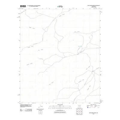
2010 Map of Strychnine Draw
USGS Topo · Published 2010About this map
Strychnine Camp sits at the base of the southeastern hills in this high-desert landscape, serving as a rare point of human habitation among a complex network of drainage systems. The terrain is defined by its deep incisions, where Strychnine Draw and Segrest Draw converge to the south, while Buzzard Canyon and Goat Canyon carve through the central reaches. This 2010 topographic profile shows how the regional infrastructure, including Armstrong Rd and Sargent Canyon Rd, was designed to navigate around these natural watercourses. The presence of Wilburn Tank and Collier Tank Draw indicates the vital importance of water management in this arid New Mexico environment, supporting the cattle ranching or land use associated with local camps.
Find a feature on this map
15 named features on this map. Tap any name to fly to it.
Don’t see what you’re looking for? This feature index may not catch every label — zoom into the map to look around manually.
Map Details
Editions of this 2010 Strychnine Draw Map
This is the sole edition of this map. No revisions or reprints were ever made.
Other maps of this area

1940 · Bandanna Point
USGS Topo · 1:62,500

1943 · Bandanna Point
USGS Topo · 1:62,500

1943 · Texas Hill
USGS Topo · 1:62,500

1945 · Texas Hill
USGS Topo · 1:62,500

1954 · Carlsbad
USGS Topo · 1:250,000

1956 · Antelope Sink
USGS Topo · 1:24,000

1957 · Box Canyon Ranch
USGS Topo · 1:24,000

1958 · Carlsbad
USGS Topo · 1:250,000

1978 · Strychnine Draw
USGS Topo · 1:24,000

1978 · Encino Draw
USGS Topo · 1:24,000