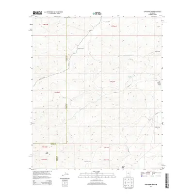
2013 Map of Strychnine Draw
USGS Topo · Published 2013About this map
Strychnine Camp and Cawley Ranch sit within a landscape defined by sharp drainage networks and high-country canyons at the junction of Chaves, Eddy, and Otero counties. This 2013 survey details the arid geography of the Strychnine Draw watershed, where the terrain is carved by features like Sargent Canyon and Deer Canyon. The map reveals a land managed for ranching and resource use, indicated by infrastructure such as Wilburn Tank and Collier Tank Draw. Transportation is limited to a sparse network of county and canyon roads, including Sargent Canyon Rd and Co Road 20, which navigate the elevation changes between Goat Canyon and the surrounding draws. The convergence of three county lines highlights the political geography of this high-desert region during the early 21st century.
Find a feature on this map
25 named features on this map. Tap any name to fly to it.
Don’t see what you’re looking for? This feature index may not catch every label — zoom into the map to look around manually.
Map Details
Editions of this 2013 Strychnine Draw Map
This is the sole edition of this map. No revisions or reprints were ever made.
Other maps of this area

1940 · Bandanna Point
USGS Topo · 1:62,500

1943 · Bandanna Point
USGS Topo · 1:62,500

1943 · Texas Hill
USGS Topo · 1:62,500

1945 · Texas Hill
USGS Topo · 1:62,500

1954 · Carlsbad
USGS Topo · 1:250,000

1956 · Antelope Sink
USGS Topo · 1:24,000

1957 · Box Canyon Ranch
USGS Topo · 1:24,000

1958 · Carlsbad
USGS Topo · 1:250,000

1978 · Strychnine Draw
USGS Topo · 1:24,000

1978 · Encino Draw
USGS Topo · 1:24,000