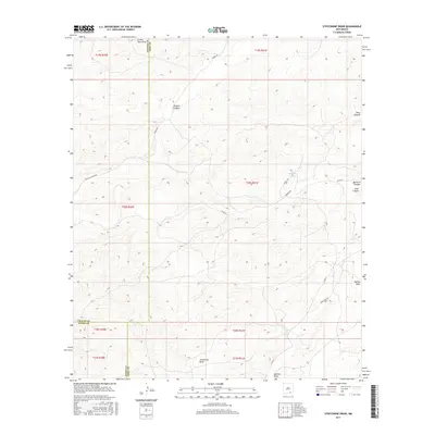
2017 Map of Strychnine Draw
USGS Topo · Published 2017About this map
Strychnine Draw serves as a central landmark for this arid Chaves County landscape, where the convergence of three counties—Chaves, Eddy, and Otero—creates a complex jurisdictional boundary. The terrain is defined by a series of north-to-south trending drainages, including Segrest Draw and Collier Tank Draw, which cut through the high desert. Settlement is sparse, represented primarily by cattle tanks such as Wilburn Tank and a network of remote ranching roads like Bronc Rd and Sargent Canyon Rd. To the northeast, the topography shifts into more pronounced relief at Deer Canyon and Sargent Canyon. This area represents the intersection of large-scale ranching operations and public land management in southeastern New Mexico, where water sources like Wilburn Tank are essential for local land use.
Find a feature on this map
24 named features on this map. Tap any name to fly to it.
Don’t see what you’re looking for? This feature index may not catch every label — zoom into the map to look around manually.
Map Details
Editions of this 2017 Strychnine Draw Map
This is the sole edition of this map. No revisions or reprints were ever made.
Other maps of this area

1940 · Bandanna Point
USGS Topo · 1:62,500

1943 · Bandanna Point
USGS Topo · 1:62,500

1943 · Texas Hill
USGS Topo · 1:62,500

1945 · Texas Hill
USGS Topo · 1:62,500

1954 · Carlsbad
USGS Topo · 1:250,000

1956 · Antelope Sink
USGS Topo · 1:24,000

1957 · Box Canyon Ranch
USGS Topo · 1:24,000

1958 · Carlsbad
USGS Topo · 1:250,000

1978 · Strychnine Draw
USGS Topo · 1:24,000

1978 · Encino Draw
USGS Topo · 1:24,000