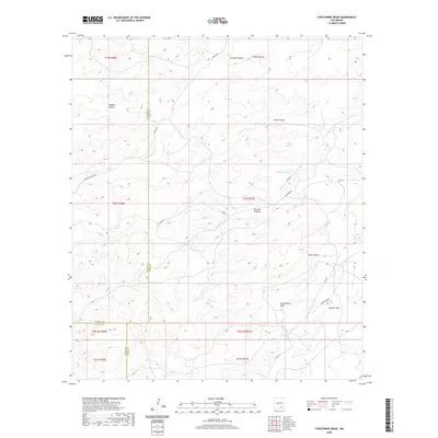
2020 Map of Strychnine Draw
USGS Topo · Published 2020About this map
Strychnine Draw and Segrest Draw characterize this section of the New Mexico high desert, where deep drainage systems carve through the arid plateau. The landscape is defined by its vertical relief, featuring prominent formations like Crooked Canyon and Sargent Canyon. While the terrain is primarily shaped by natural erosion, a network of rural routes including Bronc Rd and Armstrong Rd provides access to this isolated area.
Find a feature on this map
26 named features on this map. Tap any name to fly to it.
Don’t see what you’re looking for? This feature index may not catch every label — zoom into the map to look around manually.
Map Details
Editions of this 2020 Strychnine Draw Map
This is the sole edition of this map. No revisions or reprints were ever made.
Other maps of this area

1940 · Bandanna Point
USGS Topo · 1:62,500

1943 · Bandanna Point
USGS Topo · 1:62,500

1943 · Texas Hill
USGS Topo · 1:62,500

1945 · Texas Hill
USGS Topo · 1:62,500

1954 · Carlsbad
USGS Topo · 1:250,000

1956 · Antelope Sink
USGS Topo · 1:24,000

1957 · Box Canyon Ranch
USGS Topo · 1:24,000

1958 · Carlsbad
USGS Topo · 1:250,000

1978 · Strychnine Draw
USGS Topo · 1:24,000

1978 · Encino Draw
USGS Topo · 1:24,000