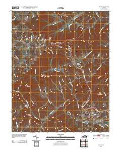
2010 Map of Stuart
USGS Topo · Published 2010About this map
Stuart serves as the primary hub in this Patrick County landscape, situated at the confluence of the South Mayo River and Campbell Branch. The area's complex topography is defined by high ridges and notable summits like Mayo Mountain, Indian Grave Mountain, and Lovers Leap. Small rural settlements such as Vesta, Dobyns, and Cruzes Store are connected by a web of winding mountain roads, including Spoon Mountain Dr and Rebel Rd.
Find a feature on this map
53 named features on this map. Tap any name to fly to it.
Don’t see what you’re looking for? This feature index may not catch every label — zoom into the map to look around manually.
Map Details
Editions of this 2010 Stuart Map
This is the sole edition of this map. No revisions or reprints were ever made.
Other maps of this area

1926 · Critz
USGS Topo · 1:48,000

1928 · Stuart
USGS Topo · 1:48,000

1928 · Critz
USGS Topo · 1:62,500

1931 · Stuart
USGS Topo · 1:62,500

1953 · Winston-Salem
USGS Topo · 1:250,000

1955 · Winston-Salem
USGS Topo · 1:250,000

1957 · Endicott
USGS Topo · 1:62,500

1957 · Floyd
USGS Topo · 1:62,500

1962 · Winston-Salem
USGS Topo · 1:250,000

1967 · Patrick Springs
USGS Topo · 1:24,000