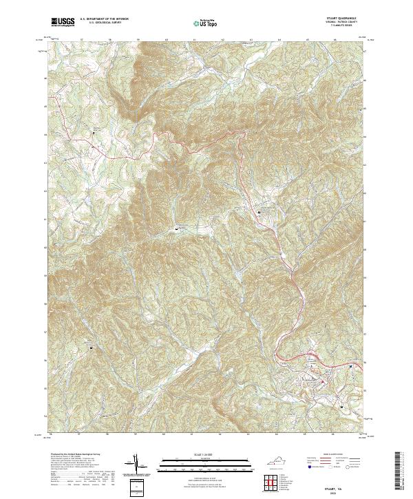
2022 Map of Stuart
USGS Topo · Published 2022About this map
The Patrick County Courthouse stands as the central landmark of this terrain, where the topography rises sharply toward the prominence of Bull Mountain. This 2022 survey captures the complex drainage patterns of the Blue Ridge foothills, defined by the Dan River, the Smith River, and the South Mayo River. These waterways and their numerous tributaries, such as Poorhouse Cr and Rye Cove Cr, have long dictated the placement of roads and small homesteads throughout the hollows.
Find a feature on this map
105 named features on this map. Tap any name to fly to it.
Don’t see what you’re looking for? This feature index may not catch every label — zoom into the map to look around manually.
Map Details
Editions of this 2022 Stuart Map
This is the sole edition of this map. No revisions or reprints were ever made.
Other maps of this area

1926 · Critz
USGS Topo · 1:48,000

1928 · Stuart
USGS Topo · 1:48,000

1928 · Critz
USGS Topo · 1:62,500

1931 · Stuart
USGS Topo · 1:62,500

1953 · Winston-Salem
USGS Topo · 1:250,000

1955 · Winston-Salem
USGS Topo · 1:250,000

1957 · Endicott
USGS Topo · 1:62,500

1957 · Floyd
USGS Topo · 1:62,500

1962 · Winston-Salem
USGS Topo · 1:250,000

1967 · Patrick Springs
USGS Topo · 1:24,000