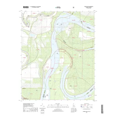
2018 Map of Stubbs Island
USGS Topo · Published 2018About this map
Stubbs Island sits at the heart of this volatile riverine landscape, where the shifting channels of the Mississippi River and the Saint Francis River define the boundary between Arkansas and Mississippi. The area is characterized by a complex network of chutes, bars, and cut-offs, reflecting the natural engineering of the delta. Landmarks such as Hardin Cut-Off and Kate Adams Chute reveal the historical bypasses that have reshaped navigation and land ownership over decades. To the south, the map captures a portion of the St. Francis National Forest, illustrating the transition from managed timberland to the open water of Tunica Lake. Numerous smaller water bodies like Cannon Lake and Laddie Lake dot the alluvial plain, while specific river features like Shoo Fly Bar and Island Number 58 indicate the precise points once vital to river pilots and local landholders.
Find a feature on this map
55 named features on this map. Tap any name to fly to it.
Don’t see what you’re looking for? This feature index may not catch every label — zoom into the map to look around manually.
Map Details
Editions of this 2018 Stubbs Island Map
This is the sole edition of this map. No revisions or reprints were ever made.
Other maps of this area
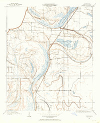
1908 · Dundee
USGS Topo · 1:24,000
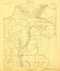
1910 · Dundee
USGS Topo · 1:31,680
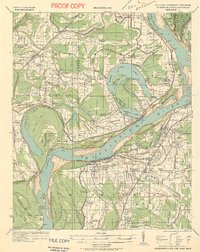
1931 · Horseshoe Lake
USGS Topo · 1:62,500
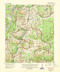
1939 · Clayton
USGS Topo · 1:62,500
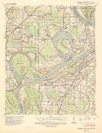
1939 · Horseshoe Lake
USGS Topo · 1:62,500
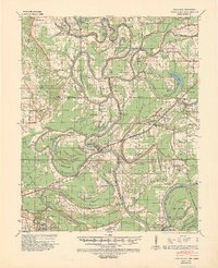
1939 · Park Place
USGS Topo · 1:62,500
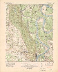
1939 · Latour
USGS Topo · 1:62,500
1948 · Helena
USGS Topo · 1:250,000
1950 · Helena
USGS Topo · 1:250,000
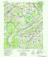
1954 · Horseshoe Lake
USGS Topo · 1:62,500
Featured Places
- Saint Francis Island Landing, AR
- Harbert Landing, MS
- Phillips County, AR
- Tunica County, MS
- Lee County, AR