
1981 Map of Sturgeon Bay West
USGS Topo · Published 1981About this map
Potawatomi State Park dominates the shoreline of Green Bay and the entrance to the Sturgeon Bay Ship Canal in this early 1980s topographic portrait. The map details the transition from the concentrated urban streets of Sturgeon Bay to the expansive wetlands of Larson Swamp and Cunningham Swamp. The rail infrastructure of the Ahnapee and Western line is visible cutting through the southern landscape near the Ahnapee River. Local heritage is preserved through numerous family and community landmarks, including the Schumacher-Nasewaupee Cem and the Door County Cherryland Airport. The interior reveals a complex drainage network where Stony Creek and Larson Creek feed into the bay, defining the rural character of the Nasewaupee and Forestville townships.
Find a feature on this map
54 named features on this map. Tap any name to fly to it.
Don’t see what you’re looking for? This feature index may not catch every label — zoom into the map to look around manually.
Map Details
Editions of this 1981 Sturgeon Bay West Map
This is the sole edition of this map. No revisions or reprints were ever made.
Other maps of this area

1952 · Casco
USGS Topo · 1:62,500

1954 · Manitowoc
USGS Topo · 1:250,000

1958 · Manitowoc
USGS Topo · 1:250,000

1960 · Sturgeon Bay
USGS Topo · 1:62,500

1960 · Algoma
USGS Topo · 1:62,500

1961 · Little Sturgeon
USGS Topo · 1:62,500

1978 · Brussels
USGS Topo · 1:24,000

1981 · Institute
USGS Topo · 1:24,000
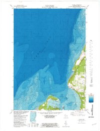
1981 · Idlewild
USGS Topo · 1:24,000
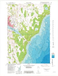
1981 · Sturgeon Bay East
USGS Topo · 1:24,000