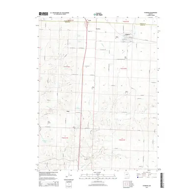
2014 Map of Sturgeon
USGS Topo · Published 2014About this map
Sturgeon and the surrounding rural landscapes of northern Boone County are defined by a complex network of tributaries feeding into the Silver Fork and Saling Cr. This 2014 survey reveals a transition from the structured grid of the settlement to the winding creek bottoms and family-named landmarks that characterize the central Missouri countryside. The topography becomes particularly distinctive at The Pinnacles, a prominent landform south of the Riggs settlement area where the Silver Fork and Kelley Br converge. Numerous burial grounds, including the Sturgeon Cemetery, Mount Horeb Cemetery, and Riggs Cemetery, are scattered throughout the quadrangle, serving as vital markers for local genealogical research. Water features such as David Bailey Lake and Baumgartner Brothers Lake illustrate the local management of the watershed within the drainage basins of Grindstone Br and Thompson Br.
Find a feature on this map
77 named features on this map. Tap any name to fly to it.
Don’t see what you’re looking for? This feature index may not catch every label — zoom into the map to look around manually.
Map Details
Editions of this 2014 Sturgeon Map
This is the sole edition of this map. No revisions or reprints were ever made.
Other maps of this area

1890 · Moberly
USGS Topo · 1:125,000

1917 · Sturgeon
USGS Topo · 1:62,500

1945 · Centralia
USGS Topo · 1:62,500

1953 · Moberly
USGS Topo · 1:250,000

1953 · Renick
USGS Topo · 1:24,000

1953 · Clark
USGS Topo · 1:24,000

1954 · Moberly
USGS Topo · 1:250,000

1957 · Moberly
USGS Topo · 1:250,000

1958 · Tulip
USGS Topo · 1:24,000

1960 · Moberly
USGS Topo · 1:250,000