Loading...
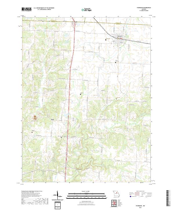
Loading map...2021 Map of Sturgeon
USGS Topo · Published 2021About this map
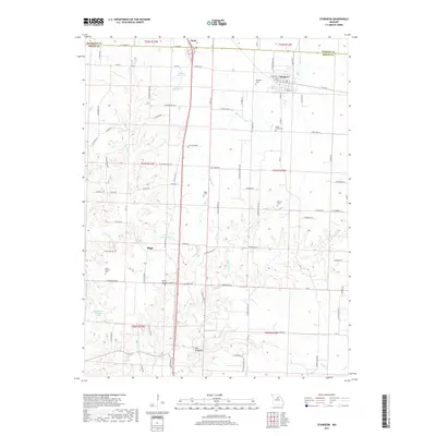
Sturgeon and Clark anchor this northern Boone County landscape, positioned along the borders of Randolph and Audrain counties. The region is defined by a dense network of rural roads such as W Hwy NN and N Old Number 7, which connect scattered homesteads and small family burial grounds. For those tracing local genealogy, numerous sites are recorded, including the Sturgeon Cem, Mount Horeb Cem, and Nailer Cem.
Find a feature on this map
75 named features on this map. Tap any name to fly to it.
Don’t see what you’re looking for? This feature index may not catch every label — zoom into the map to look around manually.
Map Details
Date Portrayed2021
Date Published2021
PublisherU.S. Geological Survey
Map TypeTopographic
Scale1:24,000
Physical Dimensions24 x 29 inches
Editions of this 2021 Sturgeon Map
This is the sole edition of this map. No revisions or reprints were ever made.
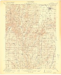
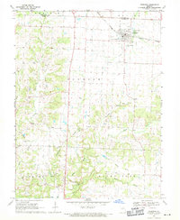
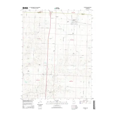
Historical Maps of Sturgeon Through Time
6 maps found

Featured Locations
Source Details
SourceU.S. Geological Survey
CopyrightPublic Domain