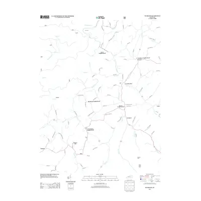
2013 Map of Sturgeon
USGS Topo · Published 2013About this map
Sturgeon Cr and its many winding tributaries, including Little Sturgeon Cr and Beals Fork, define the settlement patterns of this Jackson County region. The landscape is marked by distinct communities often identified by their neighborhood names, such as Needmore Neighborhood and Moors Neighborhood. These small clusters are connected by a network of rural routes like Moore School-Lee Co Line Rd and Big Springs Rd, which follow the contours of the drainage basins.
Find a feature on this map
95 named features on this map. Tap any name to fly to it.
Don’t see what you’re looking for? This feature index may not catch every label — zoom into the map to look around manually.
Map Details
Editions of this 2013 Sturgeon Map
This is the sole edition of this map. No revisions or reprints were ever made.
Other maps of this area

1891 · Manchester
USGS Topo · 1:125,000

1892 · Beattyville
USGS Topo · 1:125,000

1952 · Leighton
USGS Topo · 1:24,000

1952 · Beattyville
USGS Topo · 1:24,000

1952 · Heidelberg
USGS Topo · 1:24,000

1953 · Mc Kee
USGS Topo · 1:24,000

1953 · Oneida
USGS Topo · 1:24,000

1953 · Tyner
USGS Topo · 1:24,000

1953 · Booneville
USGS Topo · 1:24,000

1953 · Sturgeon
USGS Topo · 1:24,000