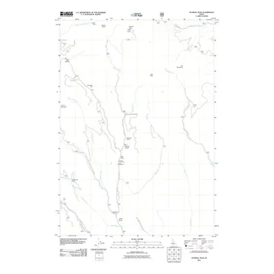
2011 Map of Sturgill Peak
USGS Topo · Published 2011About this map
Sturgill Peak Lookout stands at the northern apex of this Idaho mountain landscape, overlooking the high elevations of the Hitt Mountains and Hitt Peak. The terrain is defined by a series of deep drainages and ridges, where Mann Creek, Bear Creek, and Keithly Creek carve through the high country. Recreation and forest access are central to this area, evidenced by the string of established sites along the drainage floors, including Spring Creek Campground, Paradise Campground, and Justrite Campground. Further south, the Kiawanis Campground sits near Stacy Creek, marking a transition toward the lower foothills. The presence of Sawlog Glacier and named clearings like Coffee Flat and Tamarack Flat suggest the distinct alpine character and seasonal shifts inherent to this part of Washington County.
Find a feature on this map
37 named features on this map. Tap any name to fly to it.
Don’t see what you’re looking for? This feature index may not catch every label — zoom into the map to look around manually.
Map Details
Editions of this 2011 Sturgill Peak Map
This is the sole edition of this map. No revisions or reprints were ever made.
Other maps of this area

1897 · Weiser
USGS Topo · 1:125,000

1915 · Pine
USGS Topo · 1:125,000

1952 · Olds Ferry
USGS Topo · 1:62,500

1953 · Mann Creek
USGS Topo · 1:62,500

1955 · Baker
USGS Topo · 1:250,000

1957 · Sturgill Peak
USGS Topo · 1:62,500

1957 · Mineral
USGS Topo · 1:62,500

1959 · Baker
USGS Topo · 1:250,000

1980 · McCall
USGS Topo · 1:100,000

1980 · Weiser
USGS Topo · 1:100,000