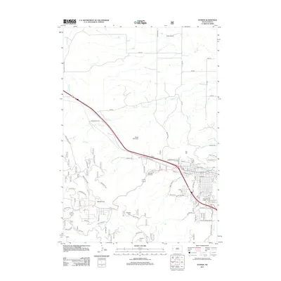
2012 Map of Sturgis
USGS Topo · Published 2012About this map
Boulder Park and the rugged canyons surrounding the city of Sturgis are shown in this 2012 survey, illustrating the complex intersection of residential expansion and natural geography. The landscape is defined by high points like Oyster Mountain, Granite Peak, and Sly Hill, which overlook a network of drainages including Bear Butte Cr and Spring Cr. The map details the transition from the city’s residential grid—with streets like Main St and Sherman St—to the winding forest routes of Crook Mountain Rd and the depths of Boulder Canyon. Local history and geology intersect at Deadman Gulch and Snake Bench, showing how the early 21st-century infrastructure follows the natural corridors of the Black Hills foothills.
Find a feature on this map
120 named features on this map. Tap any name to fly to it.
Don’t see what you’re looking for? This feature index may not catch every label — zoom into the map to look around manually.
Map Details
Editions of this 2012 Sturgis Map
This is the sole edition of this map. No revisions or reprints were ever made.
Other maps of this area

1893 · Rapid
USGS Topo · 1:125,000

1894 · Deadwood
USGS Topo · 1:125,000

1898 · Rapid
USGS Topo · 1:125,000

1899 · Sturgis
USGS Topo · 1:62,500

1901 · Deadwood
USGS Topo · 1:125,000

1903 · Rapid
USGS Topo · 1:125,000

1905 · Saint Onge
USGS Topo · 1:62,500

1906 · Vale
USGS Topo · 1:62,500

1907 · Belle Fourche
USGS Topo · 1:125,000

1913 · Newell
USGS Topo · 1:125,000