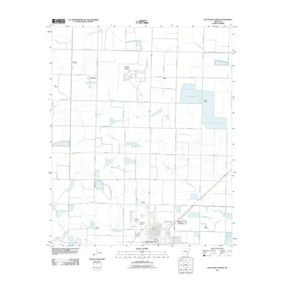
2011 Map of Stuttgart North
USGS Topo · Published 2011About this map
Stuttgart and its northern outskirts are defined by an intricate network of irrigation and aviation, reflecting the region's agricultural and logistical importance in the early 21st century. The landscape is dotted with several family and community burial grounds, including the Fairmount Cemetery and Tate Cemetery to the west, while the central corridor is anchored by the Stuttgart Municipal Airport and Dockery Airfield.
Find a feature on this map
50 named features on this map. Tap any name to fly to it.
Don’t see what you’re looking for? This feature index may not catch every label — zoom into the map to look around manually.
Map Details
Editions of this 2011 Stuttgart North Map
This is the sole edition of this map. No revisions or reprints were ever made.
Other maps of this area

1935 · Clarendon
USGS Topo · 1:62,500

1937 · Stuttgart
USGS Topo · 1:62,500

1939 · Stuttgart
USGS Topo · 1:62,500

1941 · De Witt
USGS Topo · 1:62,500

1941 · Goldman
USGS Topo · 1:62,500

1941 · Clarendon
USGS Topo · 1:62,500

1948 · Helena
USGS Topo · 1:250,000

1950 · Helena
USGS Topo · 1:250,000

1954 · De Witt
USGS Topo · 1:62,500

1955 · Helena
USGS Topo · 1:250,000