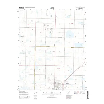
2014 Map of Stuttgart North
USGS Topo · Published 2014About this map
Grand Prairie terrain dominates this landscape north of the Arkansas County seat, where the rice-growing heritage of the region is reflected in a network of irrigation reservoirs and drainage canals. The area around Stuttgart is marked by a grid of agricultural roads, including W Military Rd and the Old England Hwy, which connect the small communities of Fairmount and Kay. The land's history is preserved in several rural burial grounds such as Fairmount Cem, Lutheran Cem, and Tate Cem, often located near former settlement centers. To the north and east, the natural hydrology of Lost Island Bayou and Little LaGrue Bayou provides a contrast to the man-made Wolf Reservoir and Menett Reservoir. This survey also documents the layout of North Stuttgart and the Stuttgart Municipal Airport, illustrating the town's expansion and infrastructure at the mid-decade mark.
Find a feature on this map
119 named features on this map. Tap any name to fly to it.
Don’t see what you’re looking for? This feature index may not catch every label — zoom into the map to look around manually.
Map Details
Editions of this 2014 Stuttgart North Map
This is the sole edition of this map. No revisions or reprints were ever made.
Other maps of this area

1935 · Clarendon
USGS Topo · 1:62,500

1937 · Stuttgart
USGS Topo · 1:62,500

1939 · Stuttgart
USGS Topo · 1:62,500

1941 · De Witt
USGS Topo · 1:62,500

1941 · Goldman
USGS Topo · 1:62,500

1941 · Clarendon
USGS Topo · 1:62,500

1948 · Helena
USGS Topo · 1:250,000

1950 · Helena
USGS Topo · 1:250,000

1954 · De Witt
USGS Topo · 1:62,500

1955 · Helena
USGS Topo · 1:250,000