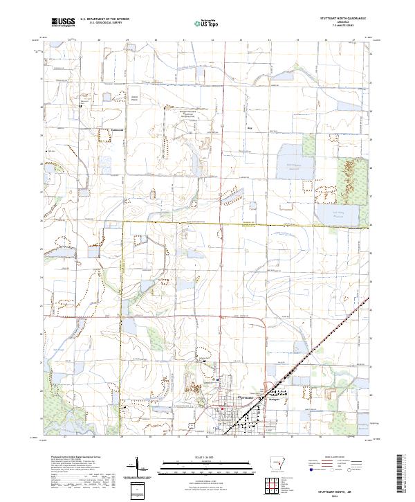
2024 Map of Stuttgart North
USGS Topo · Published 2024About this map
The Grand Prairie region of Arkansas is defined here by its unique hydrological and agricultural landscape, dominated by rice farming and waterfowl habitat. The northern expansion of Stuttgart and the smaller community of North Stuttgart occupy the southern portion of the sheet, while the rural north is punctuated by several significant water management features like the Bull-Galloway Reservoir and Lost Island Reservoir.
Find a feature on this map
63 named features on this map. Tap any name to fly to it.
Don’t see what you’re looking for? This feature index may not catch every label — zoom into the map to look around manually.
Map Details
Editions of this 2024 Stuttgart North Map
This is the sole edition of this map. No revisions or reprints were ever made.
Other maps of this area

1935 · Clarendon
USGS Topo · 1:62,500

1937 · Stuttgart
USGS Topo · 1:62,500

1939 · Stuttgart
USGS Topo · 1:62,500

1941 · De Witt
USGS Topo · 1:62,500

1941 · Goldman
USGS Topo · 1:62,500

1941 · Clarendon
USGS Topo · 1:62,500

1948 · Helena
USGS Topo · 1:250,000

1950 · Helena
USGS Topo · 1:250,000

1954 · De Witt
USGS Topo · 1:62,500

1955 · Helena
USGS Topo · 1:250,000