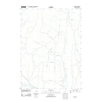
2012 Map of Sublet
USGS Topo · Published 2012About this map
Pomeroy Basin and the surrounding drainage networks of Willow Cr define this landscape in Lincoln County. The 2012 survey illustrates a region largely shaped by the winding courses of Muddy Cr, Fisher Cr, and the larger Hams Fork at the southern edge. The map captures a high-country environment where water sources like Alkali Spring and Van Gilder Spring are critical landmarks. Human presence is marked by a network of ranch and access roads with evocative names such as Milky Way Rd and Lone Ln. Researchers will find the Colletti Number 2 Reservoir and the Windy Gap pass, providing a clear view of the area's geography before significant 21st-century development. The intersection of local county roads like Cord 338 and CO Hwy 306 highlights the rural connectivity of the Gomer vicinity.
Find a feature on this map
27 named features on this map. Tap any name to fly to it.
Don’t see what you’re looking for? This feature index may not catch every label — zoom into the map to look around manually.
Map Details
Editions of this 2012 Sublet Map
This is the sole edition of this map. No revisions or reprints were ever made.
Other maps of this area
1936 · Cokeville
USGS Topo · 1:96,000
1942 · Cokeville
USGS Topo · 1:125,000
1945 · Fort Hill
USGS Topo · 1:62,500
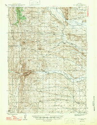
1947 · Fort Hill
USGS Topo · 1:62,500

1954 · Ogden
USGS Topo · 1:250,000
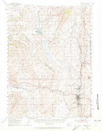
1954 · Kemmerer
USGS Topo · 1:62,500

1955 · Preston
USGS Topo · 1:250,000

1958 · Ogden
USGS Topo · 1:250,000

1958 · Preston
USGS Topo · 1:250,000

1960 · Ogden
USGS Topo · 1:250,000