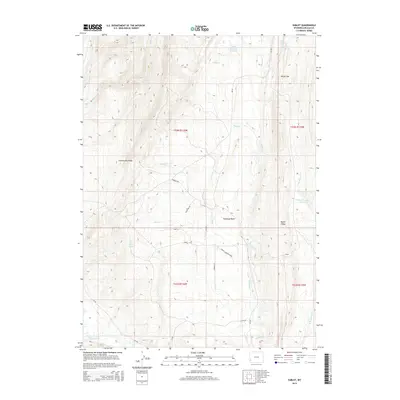
2015 Map of Sublet
USGS Topo · Published 2015About this map
Commissary Ridge dominates the western horizon of this high-altitude landscape in Lincoln County, where the settlement of Sublet sits positioned between the uplands and the drainage of Willow Creek. The terrain is defined by a series of north-south geological features, including Oyster Ridge and the broad Pomeroy Basin, which direct the flow of water through numerous small tributaries like Muddy Creek and Carl Creek. Historically, water management in this arid environment is evident through the naming of localized features such as Willey Number 1 Reservoir and Colletti Number 2 Reservoir, as well as several reliable water sources like Van Gilder Spring and Alkali Spring. The transportation network is a mixture of established county roads and specialized routes such as Pomeroy Road and Milky Way Road, which traverse the high gaps and basins to connect the ranching and resource lands of the Wyoming high desert.
Find a feature on this map
33 named features on this map. Tap any name to fly to it.
Don’t see what you’re looking for? This feature index may not catch every label — zoom into the map to look around manually.
Map Details
Editions of this 2015 Sublet Map
This is the sole edition of this map. No revisions or reprints were ever made.
Other maps of this area
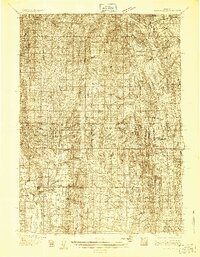
1936 · Cokeville
USGS Topo · 1:96,000
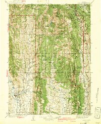
1942 · Cokeville
USGS Topo · 1:125,000
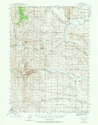
1945 · Fort Hill
USGS Topo · 1:62,500
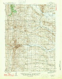
1947 · Fort Hill
USGS Topo · 1:62,500

1954 · Ogden
USGS Topo · 1:250,000
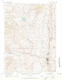
1954 · Kemmerer
USGS Topo · 1:62,500

1955 · Preston
USGS Topo · 1:250,000

1958 · Ogden
USGS Topo · 1:250,000

1958 · Preston
USGS Topo · 1:250,000

1960 · Ogden
USGS Topo · 1:250,000