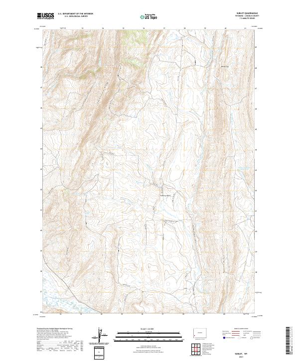
2021 Map of Sublet
USGS Topo · Published 2021About this map
Commissary Ridge and Oyster Ridge define the vertical geography of this Lincoln County landscape, creating a high-altitude corridor of basins and drainages. Between these prominent ridges lies Pomeroy Basin, a high-country depression where seasonal watercourses like Muddy Cr and Beachler Cr gather. The area is characterized by a sparse network of ranching roads, including Farm Field Rd and Sheep Pasture Acc, reflecting the region's long-standing connection to livestock grazing and open-range land use.
Find a feature on this map
32 named features on this map. Tap any name to fly to it.
Don’t see what you’re looking for? This feature index may not catch every label — zoom into the map to look around manually.
Map Details
Editions of this 2021 Sublet Map
This is the sole edition of this map. No revisions or reprints were ever made.
Other maps of this area

1936 · Cokeville
USGS Topo · 1:96,000

1942 · Cokeville
USGS Topo · 1:125,000

1945 · Fort Hill
USGS Topo · 1:62,500

1947 · Fort Hill
USGS Topo · 1:62,500

1954 · Ogden
USGS Topo · 1:250,000

1954 · Kemmerer
USGS Topo · 1:62,500

1955 · Preston
USGS Topo · 1:250,000

1958 · Ogden
USGS Topo · 1:250,000

1958 · Preston
USGS Topo · 1:250,000

1960 · Ogden
USGS Topo · 1:250,000