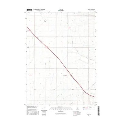
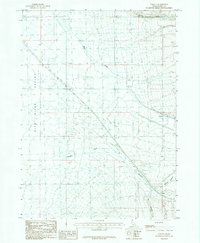
2017 Map of Sublett
USGS Topo · Published 2017About this map
Sublett sits at the junction of Sublett Rd and Juniper Rd, serving as a central point in this high-desert landscape of Cassia County. The terrain is defined by the broad Raft River Valley and a network of seasonal drainages including Sublett Cr, Meadow Cr, and Shirley Cr. A notable geological feature is found at Hot Springs, where Warm Cr originates, suggesting the geothermal activity common to this region of Idaho. The map reveals a strictly organized rural infrastructure, where long-established range lines meet diagonal modern thoroughfares like Harris Rd, which cuts directly across the grid. This 2017 survey documents the modern ranching and agricultural layout of the area, from the depths of Big Canyon to the wide valley floor.
Find a feature on this map
19 named features on this map. Tap any name to fly to it.
Don’t see what you’re looking for? This feature index may not catch every label — zoom into the map to look around manually.
Map Details
Editions of this 2017 Sublett Map
This is the sole edition of this map. No revisions or reprints were ever made.
Other maps of this area

1954 · Pocatello
USGS Topo · 1:250,000

1958 · Pocatello
USGS Topo · 1:250,000
1958 · Sublett
USGS Topo · 1:62,500
1959 · Strevell
USGS Topo · 1:62,500
1968 · Malta NE
USGS Topo · 1:24,000
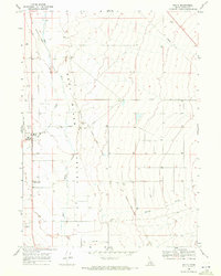
1968 · Malta
USGS Topo · 1:24,000
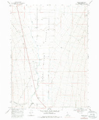
1968 · Bridge
USGS Topo · 1:24,000
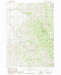
1985 · North Heglar Canyon
USGS Topo · 1:24,000
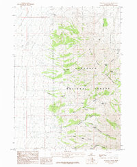
1985 · Sandrock Canyon
USGS Topo · 1:24,000
1985 · Sublett
USGS Topo · 1:24,000